Our company offers first class 3D laser scan services that cater to a wide range of industries. If you’d like to read about the technology, take a look at our post, Laser Scanning for Industrial Applications. We take pride in our exceptional service and expertise, which is reflected in our impressive portfolio of case studies. Whether you need detailed scans for construction, engineering, or architectural purposes, we have the tools and skills to deliver. Contact us today to learn more about our services and how we can help with your project.


In the right hands, Laser or LIDAR Scanning is a highly effective method of rapidly capturing as-built information in rich detail. The resulting point cloud is a very precise digital record of an object or space from which accurate measurements can be taken and documentation such as 3D CAD models created. 3D Laser Scanning has shown itself to be quicker, safer and more accurate than other measurement techniques.
Of course, as the price of laser scanning has dropped the number of survey providers has increased significantly. As a project owner the challenge is knowing who you can trust to precisely capture the area or site, on time and without impact to your overall project schedule?
Over our 40 years of business we have developed unrivalled experience in 3D laser scanning consultancy and services allowing us to provide project assurance to our clients. We use the very latest Leica laser scanners suitable for a whole range of environments, from high density, low light process plants to larger open industrial spaces. Our scanners capture up to two million points per second which we transform into detailed coloured point clouds.
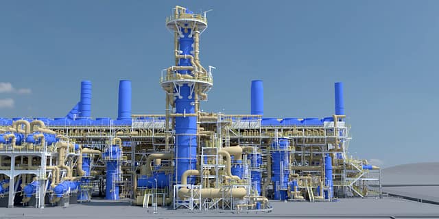
Our expertise and services are applicable to industrial projects including: Oil & Gas; Process Plants; Buildings & Construction – Interior & Exterior; Ships & Offshore Platforms; Road & Railside Assets; Rock & Ground Formations; Mining & Cliff Faces; Large Equipment.
Customer Value
Our laser scanning software and services consultancy enable you to:
- Quickly and accurately scan objects to complex industrial facilities
- Reduce the number of site visits, as measurements can be taken from the scans
- Minimise resurvey work, as data is available as a point cloud.
- Create as-built drawings and 3D CAD models of your plant or BIM project (interoperable which can be imported into any 3D CAD package)
- Generate drawings where none existed before
- Create sections, elevations, floor plans and maps


