
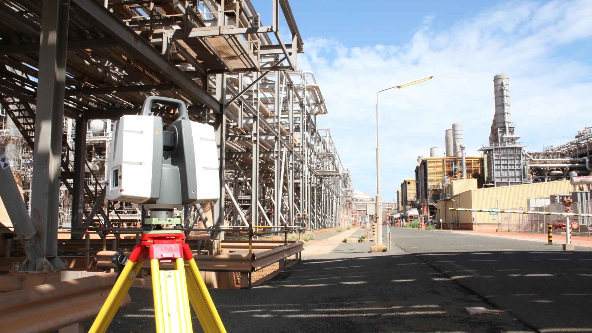
3D laser scanning can provide an accurate and highly detailed record of an industrial facility, building or piece of equipment. However, the quality and usefulness of the final data depend on much more than the scanner being used.
Survey coverage, registration quality, site experience and the choice of deliverables all influence whether the resulting point cloud or model is genuinely useful to your project.
Before appointing a laser scanning company, asking the following seven questions can help you compare proposals properly and avoid problems later.
1. Have you completed similar projects before?
Laser scanning is used across many different sectors, but experience in one environment does not necessarily transfer directly to another.
Capturing an empty building is very different from surveying a congested manufacturing plant, process facility or operational site. Industrial projects may involve restricted access, complex pipework, multiple levels, moving equipment, reflective surfaces and areas that can only be accessed during a planned shutdown.
A suitable supplier should understand the practical challenges of your environment and be able to explain how they will approach them. Ask for examples of comparable projects and, where possible, relevant sample deliverables.
The important point is not simply whether the company has used a laser scanner before, but whether it understands the type of site and the intended engineering application.
2. What accuracy can you realistically achieve?
Accuracy is often one of the first subjects discussed when procuring a laser scanning survey, but it is also one of the easiest to misunderstand.
A scanner’s quoted specification does not automatically represent the accuracy of the complete survey. The final result can also be affected by:
- The distance between the scanner and the surveyed surfaces
- The number and distribution of scan positions
- Survey control and referencing
- The quality of scan registration
- Surface condition and geometry
- The way the point cloud is processed
- The accuracy required from any subsequent CAD model or drawing
It is therefore better to describe what the data will be used for than to request the highest possible accuracy without context.
A survey intended for general plant layout may have different requirements from one supporting equipment installation, dimensional inspection or prefabricated pipework. A competent supplier should help define an appropriate accuracy requirement and explain how it will be achieved and verified.
3. How will you ensure complete survey coverage?
A laser scanner only records surfaces that are visible from its position. Equipment, structural steelwork, pipework and other obstructions can create areas of missing data if insufficient scan positions are used.
This is particularly important in congested industrial environments. A point cloud may look impressive when viewed from a distance while still containing gaps in the areas that matter most to the project.

Ask how the supplier will plan the survey, assess coverage on site and identify critical areas. They should also want to understand your priorities before arriving.
For example, if a proposed pipe route, equipment connection or structural interface is particularly important, this should influence the positioning of the scans. Providing this information in advance gives the survey team the best opportunity to capture the required detail.
No survey can guarantee visibility of every concealed surface, but careful planning and appropriate scan density can significantly reduce omissions.
4. How will the scans be registered and quality checked?
Individual scans must be aligned, or registered, to create a coordinated point cloud. The quality of this registration is fundamental to the accuracy of the completed dataset.
Ask the supplier how registration will be checked and what quality-control procedures are used before the data is issued.
Depending on the scale and purpose of the survey, this may include:
- Reviewing the strength and overlap of connections between scans
- Checking registration residuals and overall bundle error
- Comparing common geometry between scan positions
- Using surveyed control points where a specified coordinate system is required
- Visually inspecting the completed point cloud for misalignment
- Confirming that the required areas have been captured
A registration report or software-generated accuracy figure can be useful, but it should not replace experienced review of the completed dataset. Automated results need to be interpreted in the context of the site geometry and the intended use of the survey.
5. What exactly will be delivered?
“Laser scanning survey” can describe anything from the supply of individual scan files to a fully registered point cloud, 3D CAD model, drawings and online visualisation system.
The required outputs should be clearly defined before the work begins.
Questions to consider include:
- Will the point cloud be registered, cleaned and coordinated?
- Will it be supplied as individual scans, a unified dataset or both?
- Which file formats will be provided?
- Is the data compatible with your existing software?
- Will the survey be tied to site coordinates or an agreed local coordinate system?
- Are panoramic images or a browser-based viewing system included?
- Is CAD modelling included, and if so, what level of detail will be represented?
- Are 2D plans, elevations, sections or isometric drawings required?
Common point-cloud formats include E57, RCP/RCS, LGS, LAS and LAZ, but the best choice depends on how the information will be used.
Clarifying this at the quotation stage helps prevent a technically successful survey from producing data that your project team cannot easily access or use.

6. How will the survey be managed on an operational site?
On an industrial site, the practical delivery of the survey can be just as important as the technology.
The supplier should consider access restrictions, inductions, permits, working at height, hazardous areas, moving plant and interaction with ongoing operations. They should also explain what assistance they will need from the site team.
Useful questions include:
- How many surveyors will attend?
- How long is the site work expected to take?
- Will equipment need to be stopped or areas cleared?
- Are escorts, access platforms or permits required?
- Can the work be completed around normal operations?
- What health, safety and environmental arrangements are in place?
- Does the company hold appropriate insurance and relevant certifications?
Laser scanning can often reduce time spent taking manual measurements and minimise disruption, but only when the survey has been properly planned.
7. What is included in the quotation - and what happens if the scope changes?
Laser scanning quotations can be difficult to compare because suppliers may make different assumptions about site time, processing and deliverables.
A clear proposal should define:
- The areas included in the survey
- The expected duration of the site work
- The proposed survey equipment and methodology
- Registration and processing requirements
- Deliverable formats
- CAD modelling or drawing scope
- Programme and delivery timescale
- Travel and mobilisation costs
- Any exclusions or assumptions
It is also worth asking how additional requirements will be handled. Projects often develop once the point cloud becomes available, with clients subsequently requesting extra models, drawings, measurements or data exports.
A flexible supplier should be able to explain which additional outputs can be produced from the original survey and when a return visit might be necessary.
The key question isn’t simply “How accurate is the scanner?”
It’s whether the complete survey and its deliverables are suitable for their intended use.
Choosing the right laser scanning partner
The lowest quotation is not necessarily the best value if the survey has inadequate coverage, poor registration or unsuitable deliverables. Equally, collecting more detail than the project needs can create unnecessarily large datasets and additional processing costs.
The strongest proposals are usually those based on a clear understanding of the site, the intended use of the data and the outputs required by the project team.
Offset Services has delivered industrial measurement and reality-capture projects since 1982. We provide registered point clouds, 3D CAD models, 2D drawings and SmartPanoramics visualisation for process plants, manufacturing facilities, buildings and infrastructure throughout the UK.
If you are planning a laser scanning project, contact us to discuss the site, your intended application and the most appropriate deliverables.